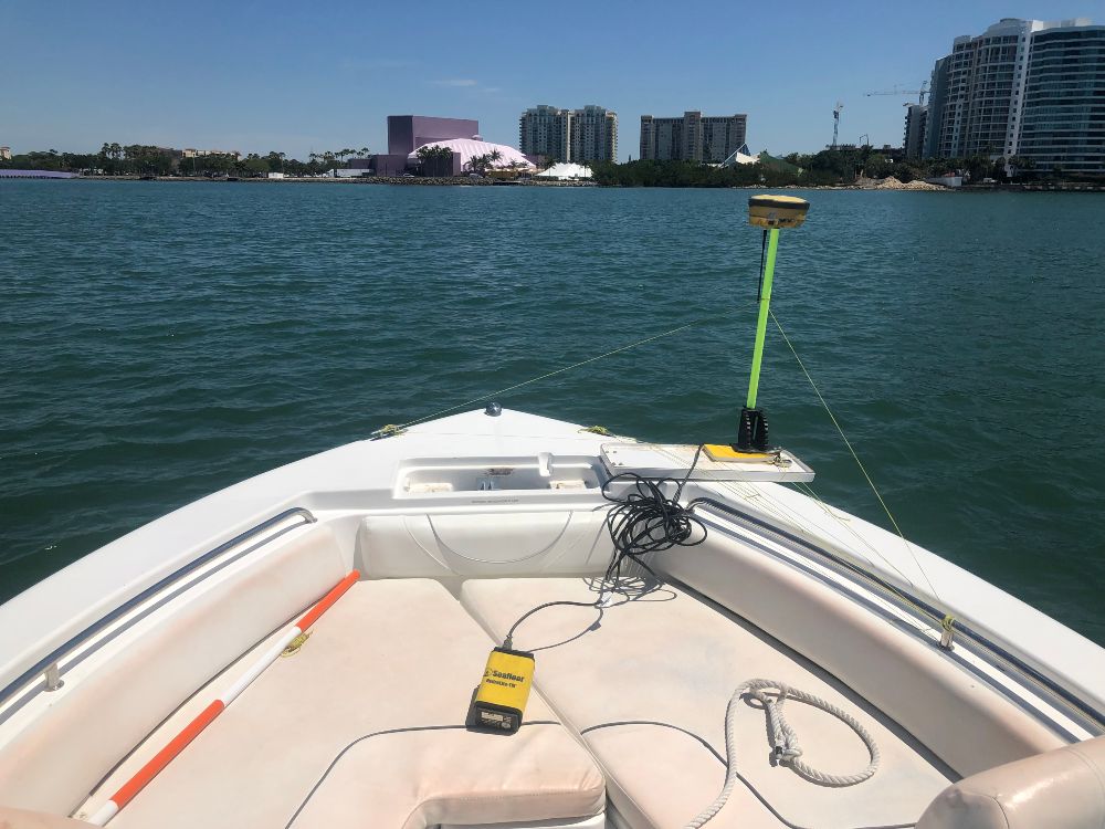
We perform precise bathymetric surveys to map underwater topography and define depths for channels, basins, and waterfront areas. Our data supports dredging design, navigation planning, and marina development.
Topographic Surveys
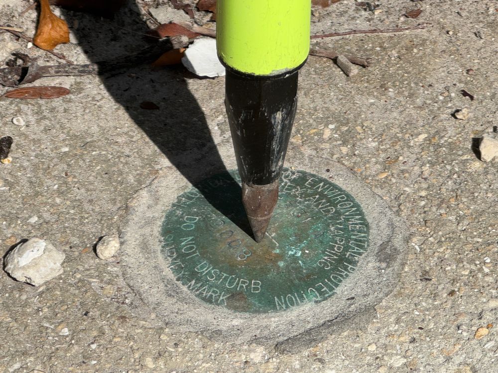
We provide detailed topographic surveys that map ground elevations, site features, drainage patterns, utilities, and shoreline conditions. This information forms
Environmental & Wetland Surveys
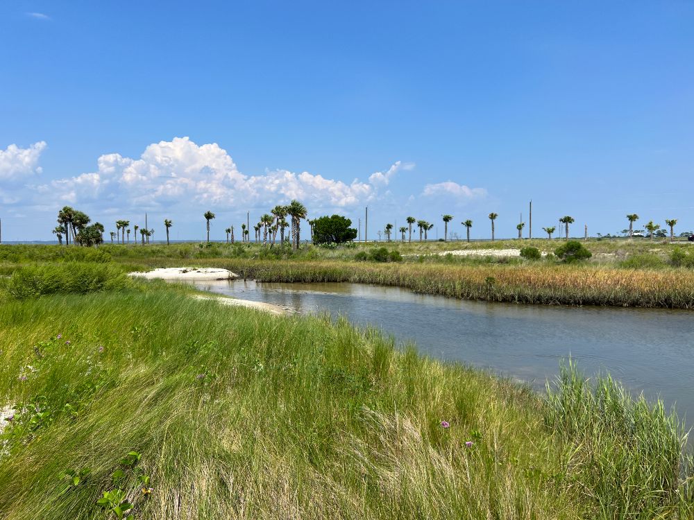
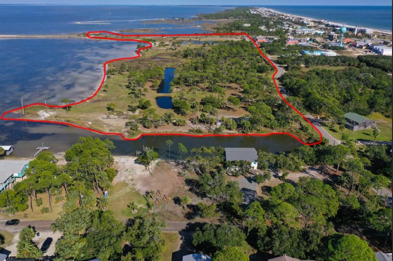
We conduct environmental and wetland surveys to support permitting and regulatory compliance. Our services include wetland boundary mapping, habitat delineation support, offset staking, and collection of topographic data for environmental documentation.
Drone (UAV) Mapping & Aerial Imaging
We utilize drone technology to capture high-resolution aerial imagery and geospatial data. Our services include orthomosaics, point clouds, volumetric calculations, and ongoing site monitoring to enhance project visualization and accuracy.
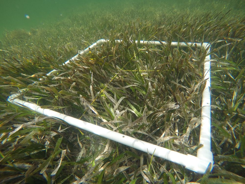
Benthic Seagrass Surveys
We assess the health and extent of seagrass habitats in coastal environments through detailed benthic surveys. Our mapping and monitoring efforts provide critical data to support environmental permitting, habitat conservation, and responsible coastal development.
MORE COASTAL Marina Planning, Design & Engineering
SERVICES
Condition Assessments
Coastal & Shoreline Surveys
Marina & Waterfront Facility Surveys
Construction Staking & Layout
As-Built & Certification Surveys
Elevation Certificates & Floodplain Surveys
GIS Mapping & Geospatial Analysis
Utility Location & Coordination Surveys
Monitoring & Change Detection Surveys
Water Control Structures & Drainage Surveys
Why Edgewater?
We combine coastal engineering, architecture, and strategic planning to create sustainable waterfront developments while enhancing the relationship between land, water, and community.